Property Record
Mall Rd, Monroe, MI 48162

Property Detail
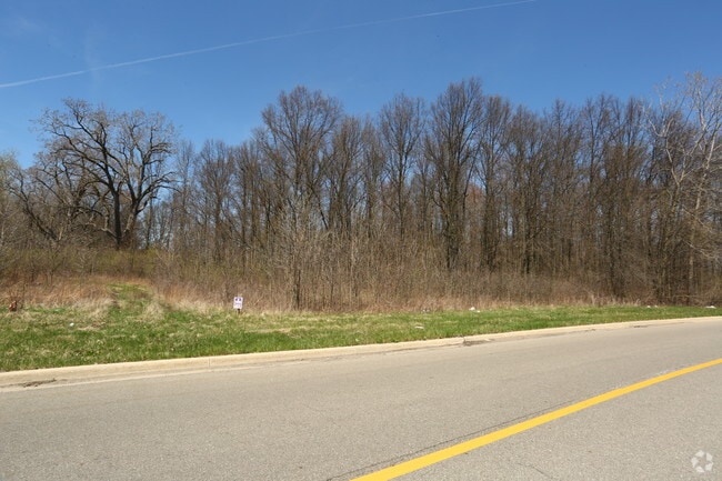
Mall Rd
07-317-002-12
SEC 30 & 19 T6S R9E 23.599 AMOL (SURVEY) COM AT INT W'LY LI PC 317 W/CL STEWART RD, TH N 20 DEG 08'32"E 2827.26 FT FOR POB,
Commercialacreage
MONROE
R3B-MULTIF
Michigan
B and X Area of moderate flood hazard, usually the area between the limits of the 100-year and 500-year floods.
23.60 AC
2025
Monroe County
2025
Detroit
831500
Monroe, MI
NEARBY LISTINGS FOR SALE OR LEASE
DEMOGRAPHICS near Mall Rd
1 mile
3 mile
5 mile
2025 Total Population
2,477
26,867
56,032
2030 Population
2,493
26,930
56,282
Pop Growth 2025-2030
+ 0.65%
+ 0.23%
+ 0.45%
Average Age
40
42
42
2025 Total Households
1,050
11,330
22,839
HH Growth 2025-2030
+ 0.67%
+ 0.19%
+ 0.41%
Median Household Inc
$66,854
$63,637
$63,864
Avg Household Size
2.30
2.30
2.30
2025 Avg HH Vehicles
2.00
2.00
2.00
Median Home Value
$272,408
$205,710
$190,244
Median Year Built
1989
1967
1970
Nearby Places
Map Layers
Map Styles
 Street
 Aerial
Transit
 Traffic
 Biking
Places
Listings with unknown addresses are not visible on the map
- Restaurants
- Banks
- Shops
- Fitness
- Groceries
SALE & LEASE HISTORY
LISTING DATE
SALE/LEASE

Sep 08, 2021
For Sale
Nearby Properties
Address
Land Use
TOTAL SIZE
Lot Size
Zoning
Address
Land Use
TOTAL SIZE
Lot Size
Zoning
200,000 SF
94.63 AC
CO
Address
Land Use
TOTAL SIZE
Lot Size
Zoning
409,765 SF
41.46 AC
Address
Land Use
TOTAL SIZE
Lot Size
Zoning
95.60 AC
Address
Land Use
TOTAL SIZE
Lot Size
Zoning
195,744 SF
32.62 AC
C-2-COMMER
Address
Land Use
TOTAL SIZE
Lot Size
Zoning
3.97 AC
Address
Land Use
TOTAL SIZE
Lot Size
Zoning
134,464 SF
34.35 AC
Address
Land Use
TOTAL SIZE
Lot Size
Zoning
192,917 SF
15.81 AC
R3B-MULTIF
Address
Land Use
TOTAL SIZE
Lot Size
Zoning
69,590 SF
11.55 AC
C-2-COMMER
Address
Land Use
TOTAL SIZE
Lot Size
Zoning
291,322 SF
55.05 AC
Address
Land Use
TOTAL SIZE
Lot Size
Zoning
148,343 SF
15.15 AC
Address
Land Use
TOTAL SIZE
Lot Size
Zoning
3,822 SF
16.60 AC
R-1A
Address
Land Use
TOTAL SIZE
Lot Size
Zoning
138,119 SF
15.12 AC
Address
Land Use
TOTAL SIZE
Lot Size
Zoning
189,314 SF
28.56 AC
Address
Land Use
TOTAL SIZE
Lot Size
Zoning
94,324 SF
10.11 AC
Address
Land Use
TOTAL SIZE
Lot Size
Zoning
290,248 SF
52.03 AC
Address
Land Use
TOTAL SIZE
Lot Size
Zoning
142,400 SF
15.20 AC
Address
Land Use
TOTAL SIZE
Lot Size
Zoning
43,127 SF
8.10 AC
Address
Land Use
TOTAL SIZE
Lot Size
Zoning
31.45 AC
Address
Land Use
TOTAL SIZE
Lot Size
Zoning
149,282 SF
7.57 AC
R-1A
Address
Land Use
TOTAL SIZE
Lot Size
Zoning
109,626 SF
8.89 AC
Address
Land Use
TOTAL SIZE
Lot Size
Zoning
2,100 SF
36.48 AC
MHP
Address
Land Use
TOTAL SIZE
Lot Size
Zoning
85,062 SF
9.32 AC
Address
Land Use
TOTAL SIZE
Lot Size
Zoning
19,364 SF
30.80 AC
Address
Land Use
TOTAL SIZE
Lot Size
Zoning
59,326 SF
6.21 AC
Address
Land Use
TOTAL SIZE
Lot Size
Zoning
37,210 SF
0.57 AC
R-1A
Address
Land Use
TOTAL SIZE
Lot Size
Zoning
66,154 SF
6.22 AC
Address
Land Use
TOTAL SIZE
Lot Size
Zoning
40,857 SF
17.30 AC
Address
Land Use
TOTAL SIZE
Lot Size
Zoning
88,848 SF
5.74 AC
Address
Land Use
TOTAL SIZE
Lot Size
Zoning
28,284 SF
40.92 AC
C-3-COMMER
Address
Land Use
TOTAL SIZE
Lot Size
Zoning
88,131 SF
10.18 AC
R-1A
The World's #1 Commercial Real Estate Marketplace
Connect with us
© 2026 CoStar Group
The information above has been obtained from sources believed reliable. While we do not doubt its accuracy we have not verified it and make no guarantee, warranty or representation about it. It is your responsibility to independently confirm its accuracy and completeness. Any projections, opinions, assumptions, or estimates used are for example only and do not represent the current or future performance of the property. The value of this transaction to you depends on tax and other factors which should be evaluated by your tax, financial, and legal advisors. You and your advisors should conduct a careful, independent investigation of the property to determine to your satisfaction the suitability of the property for your needs.